
麒麟山 topographic map
Interactive map
Click on the map to display elevation.
About this map
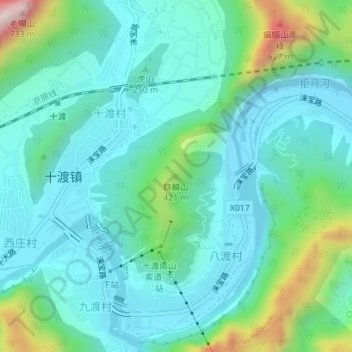
Name: 麒麟山 topographic map, elevation, terrain.
Location: 麒麟山, 房山区, 北京市, 中国 (39.64045 115.59510 39.64055 115.59520)
Average elevation: 261 m
Minimum elevation: 142 m
Maximum elevation: 703 m
Other topographic maps
Click on a map to view its topography, its elevation and its terrain.