
Lords Wood topographic map
Interactive map
Click on the map to display elevation.
About this map
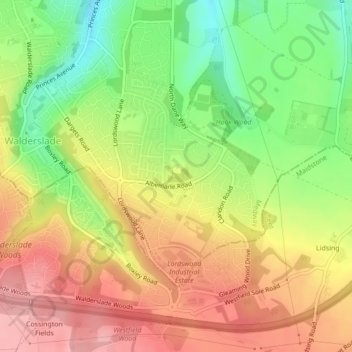
Name: Lords Wood topographic map, elevation, terrain.
Average elevation: 134 m
Minimum elevation: 68 m
Maximum elevation: 192 m
Medway trails, hiking, mountain biking, running and outdoor activities
Other topographic maps
Click on a map to view its topography, its elevation and its terrain.
Rainham Creek
United Kingdom > England > Medway > Gillingham > Lower Rainham > Motney Hill
Average elevation: 4 m