
Hagarville topographic map
Interactive map
Click on the map to display elevation.
About this map
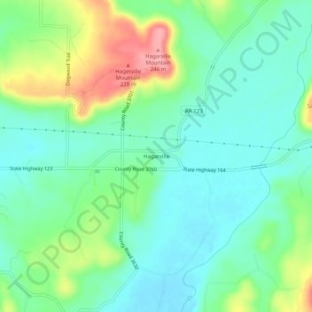
Name: Hagarville topographic map, elevation, terrain.
Location: Hagarville, Johnson County, Arkansas, United States (35.49564 -93.34490 35.53564 -93.30490)
Average elevation: 173 m
Minimum elevation: 140 m
Maximum elevation: 247 m
Other topographic maps
Click on a map to view its topography, its elevation and its terrain.