
Krog topographic map
Interactive map
Click on the map to display elevation.
About this map
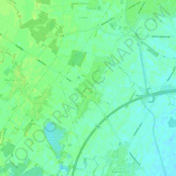
Name: Krog topographic map, elevation, terrain.
Location: Krog, Murska Sobota, 9000, Slovenia (46.61575 16.11639 46.65575 16.15639)
Average elevation: 190 m
Minimum elevation: 184 m
Maximum elevation: 195 m
Other topographic maps
Click on a map to view its topography, its elevation and its terrain.