
Bonita topographic map
Interactive map
Click on the map to display elevation.
About this map
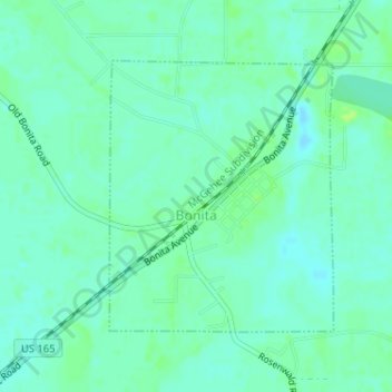
Name: Bonita topographic map, elevation, terrain.
Location: Bonita, Morehouse Parish, Louisiana, United States (32.91125 -91.68422 32.92996 -91.66579)
Average elevation: 33 m
Minimum elevation: 28 m
Maximum elevation: 39 m
Other topographic maps
Click on a map to view its topography, its elevation and its terrain.