
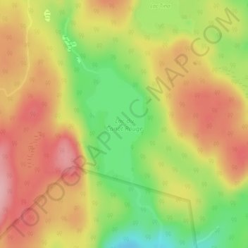
Lac du Canot Rouge topographic map
Interactive map
Click on the map to display elevation.
About this map
Name: Lac du Canot Rouge topographic map, elevation, terrain.
Average elevation: 481 m
Minimum elevation: 399 m
Maximum elevation: 544 m
Other topographic maps
Click on a map to view its topography, its elevation and its terrain.
Lac Moyre
Canada > Québec > Baie-de-la-Bouteille
Lac Moyre, Baie-de-la-Bouteille, Matawinie, Lanaudière, Québec, Canada
Average elevation: 512 m
Barrage Matawin
Canada > Québec > Baie-de-la-Bouteille
Barrage Matawin, Baie-de-la-Bouteille, Matawinie, Lanaudière, Québec, Canada
Average elevation: 383 m
Lac Elliot
Canada > Québec > Baie-de-la-Bouteille
Lac Elliot, Baie-de-la-Bouteille, Matawinie, Lanaudière, Québec, Canada
Average elevation: 470 m