
Altenstadt topographic map
Interactive map
Click on the map to display elevation.
About this map
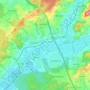
Name: Altenstadt topographic map, elevation, terrain.
Location: Altenstadt, Wetteraukreis, Hesse, 63674, Germany (50.25353 8.89792 50.31559 9.00823)
Average elevation: 153 m
Minimum elevation: 114 m
Maximum elevation: 267 m
Other topographic maps
Click on a map to view its topography, its elevation and its terrain.