
Cleveland Lake topographic map
Interactive map
Click on the map to display elevation.
About this map
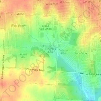
Name: Cleveland Lake topographic map, elevation, terrain.
Location: Cleveland Lake, Belton, Cass County, Missouri, USA (38.80423 -94.55807 38.80889 -94.54897)
Average elevation: 323 m
Minimum elevation: 295 m
Maximum elevation: 342 m