
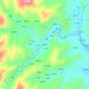
吴家河 topographic map
Interactive map
Click on the map to display elevation.
About this map
Name: 吴家河 topographic map, elevation, terrain.
Location: 吴家河, 土门村, 新县, 息县, 信阳市, 河南省, 中国 (31.58252 114.65882 31.62252 114.69882)
Average elevation: 236 m
Minimum elevation: 109 m
Maximum elevation: 526 m