
Stonega topographic map
Interactive map
Click on the map to display elevation.
About this map
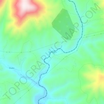
Name: Stonega topographic map, elevation, terrain.
Location: Stonega, Wise County, Virginia, 24215, United States (36.93315 -82.81127 36.97315 -82.77127)
Average elevation: 685 m
Minimum elevation: 521 m
Maximum elevation: 1,098 m
Other topographic maps
Click on a map to view its topography, its elevation and its terrain.