
Departamento San Cristóbal topographic map
Interactive map
Click on the map to display elevation.
About this map
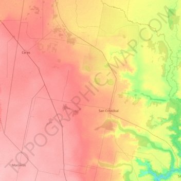
Name: Departamento San Cristóbal topographic map, elevation, terrain.
Location: Departamento San Cristóbal, Sta. Fe, Argentinien (-30.80824 -62.13059 -29.51662 -60.59094)
Average elevation: 73 m
Minimum elevation: 34 m
Maximum elevation: 103 m
Other topographic maps
Click on a map to view its topography, its elevation and its terrain.
Cañada de Gómez
Argentinien > Sta. Fe > Cañada de Gómez
Cañada de Gómez, Municipio de Cañada de Gómez, Departamento Iriondo, Sta. Fe, Argentinien
Average elevation: 93 m
Alem
Argentinien > Sta. Fe > San Lorenzo
Alem, San Lorenzo, Municipio de San Lorenzo, Departamento San Lorenzo, Sta. Fe, Argentinien
Average elevation: 25 m