
Ungwan Audi topographic map
Interactive map
Click on the map to display elevation.
About this map
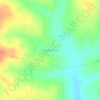
Name: Ungwan Audi topographic map, elevation, terrain.
Location: Ungwan Audi, Maibakko, Sabuwa, Catsina, Nigéria (11.20030 7.09022 11.24030 7.13022)
Average elevation: 685 m
Minimum elevation: 664 m
Maximum elevation: 710 m