
Fernley topographic map
Interactive map
Click on the map to display elevation.
About this map
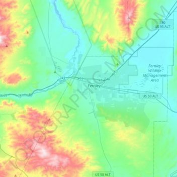
Name: Fernley topographic map, elevation, terrain.
Location: Fernley, Lyon County, Nevada, 89408, États-Unis d'Amérique (39.45994 -119.32302 39.74039 -119.05851)
Average elevation: 1,447 m
Minimum elevation: 1,209 m
Maximum elevation: 2,214 m