
Dastakert topographic map
Interactive map
Click on the map to display elevation.
About this map
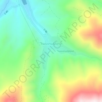
Name: Dastakert topographic map, elevation, terrain.
Location: Dastakert, Sisian Community, Syunik Province, Armenia (39.37253 46.02349 39.38233 46.03577)
Average elevation: 2,067 m
Minimum elevation: 1,832 m
Maximum elevation: 2,482 m