
Indian Church topographic map
Interactive map
Click on the map to display elevation.
About this map
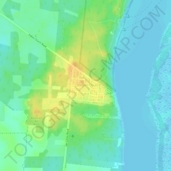
Name: Indian Church topographic map, elevation, terrain.
Location: Indian Church, Orange Walk, Belize (17.75018 -88.66108 17.75675 -88.65328)
Average elevation: 11 m
Minimum elevation: -1 m
Maximum elevation: 31 m
Other topographic maps
Click on a map to view its topography, its elevation and its terrain.
San Jose Nuevo Palmar
Belize > Orange Walk > San Jose Nuevo Palmar
San Jose Nuevo Palmar, Orange Walk, Belize
Average elevation: 8 m