
Kasangati topographic map
Interactive map
Click on the map to display elevation.
About this map
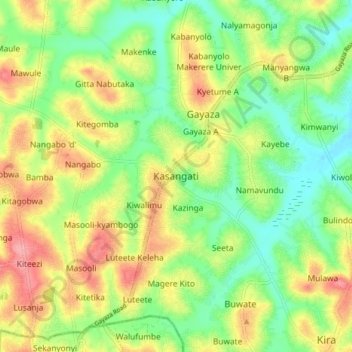
Name: Kasangati topographic map, elevation, terrain.
Location: Kasangati, Wakiso, Central Region, 7112, Uganda (0.39768 32.56492 0.47768 32.64492)
Average elevation: 1,161 m
Minimum elevation: 1,116 m
Maximum elevation: 1,219 m