
Valetta topographic map
Interactive map
Click on the map to display elevation.
About this map
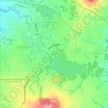
Name: Valetta topographic map, elevation, terrain.
Location: Valetta, Dagotiere, Moka, 80205, Mauritius (-20.27572 57.54632 -20.23572 57.58632)
Average elevation: 459 m
Minimum elevation: 413 m
Maximum elevation: 535 m