
Humphreys topographic map
Interactive map
Click on the map to display elevation.
About this map
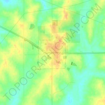
Name: Humphreys topographic map, elevation, terrain.
Location: Humphreys, Sullivan County, Missouri, United States (40.12134 -93.32448 40.12989 -93.31483)
Average elevation: 274 m
Minimum elevation: 256 m
Maximum elevation: 292 m