
Meuro topographic map
Interactive map
Click on the map to display elevation.
About this map
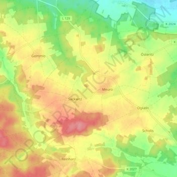
Name: Meuro topographic map, elevation, terrain.
Average elevation: 113 m
Minimum elevation: 69 m
Maximum elevation: 153 m
Other topographic maps
Click on a map to view its topography, its elevation and its terrain.
Pretzsch (Elbe)
Deutschland > Sachsen-Anhalt > Wittenberg > Bad Schmiedeberg
Pretzsch (Elbe), Bad Schmiedeberg, Wittenberg, Sachsen-Anhalt, Deutschland
Average elevation: 83 m