
Chestenberg topographic map
Interactive map
Click on the map to display elevation.
About this map
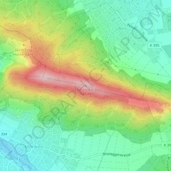
Name: Chestenberg topographic map, elevation, terrain.
Location: Chestenberg, Birr, Bezirk Brugg, Aargau, 5242, Schweiz (47.42545 8.19435 47.42555 8.19445)
Average elevation: 462 m
Minimum elevation: 362 m
Maximum elevation: 627 m