
Laur topographic map
Click on the map to display elevation.
About this map
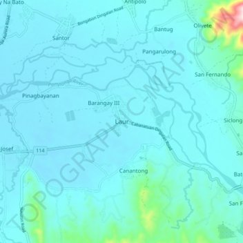
Name: Laur topographic map, elevation, terrain.
Location: Laur, Nueva Ecija, Central Luzon, Philippines (15.53972 121.14652 15.61972 121.22652)
Average elevation: 91 m
Minimum elevation: 56 m
Maximum elevation: 459 m
Other topographic maps
Click on a map to view its topography, its elevation and its terrain.