
Patrick topographic map
Interactive map
Click on the map to display elevation.
About this map
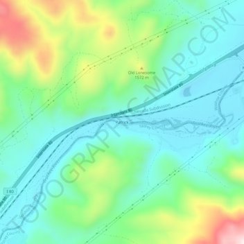
Name: Patrick topographic map, elevation, terrain.
Location: Patrick, Washoe County, Nevada, États-Unis d'Amérique (39.52713 -119.59935 39.56713 -119.55935)
Average elevation: 1,429 m
Minimum elevation: 1,293 m
Maximum elevation: 1,781 m