
Et Thawra topographic map
Interactive map
Click on the map to display elevation.
About this map
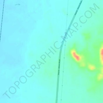
Name: Et Thawra topographic map, elevation, terrain.
Location: Et Thawra, Shendi, River Nile, Sudan (16.95140 33.72870 16.97140 33.74870)
Average elevation: 368 m
Minimum elevation: 358 m
Maximum elevation: 413 m