
Lasi topographic map
Interactive map
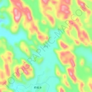
Click on the map to display elevation.
About this map
Name: Lasi topographic map, elevation, terrain.
Location: Lasi, Rong'an County, Liuzhou City, Guangxi, China (24.91856 109.54169 24.95856 109.58169)
Average elevation: 545 m
Minimum elevation: 410 m
Maximum elevation: 724 m