
Balindog topographic map
Click on the map to display elevation.
About this map
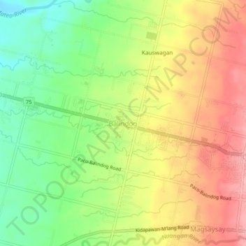
Name: Balindog topographic map, elevation, terrain.
Location: Balindog, Kidapawan, Cotabato, Soccsksargen, 9400, Philippines (7.01022 125.03890 7.05022 125.07890)
Average elevation: 179 m
Minimum elevation: 114 m
Maximum elevation: 243 m
Other topographic maps
Click on a map to view its topography, its elevation and its terrain.