
Schoppen topographic map
Interactive map
Click on the map to display elevation.
About this map
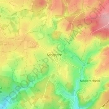
Name: Schoppen topographic map, elevation, terrain.
Location: Schoppen, Amel, Verviers, Luik, Wallonië, 4770², België (50.37095 6.15589 50.41095 6.19589)
Average elevation: 527 m
Minimum elevation: 453 m
Maximum elevation: 601 m