
Middle East topographic map
Click on the map to display elevation.
About this map
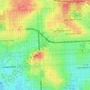
Name: Middle East topographic map, elevation, terrain.
Location: Middle East, Baltimore, Maryland, United States (39.29837 -76.59451 39.30465 -76.58513)
Average elevation: 29 m
Minimum elevation: 3 m
Maximum elevation: 55 m
Other topographic maps
Click on a map to view its topography, its elevation and its terrain.
Baltimore
United States > Maryland > Baltimore
Baltimore is in north-central Maryland on the Patapsco River close to where it empties into the Chesapeake Bay. The city is also located on the fall line between the Piedmont Plateau and the Atlantic coastal plain, which divides Baltimore into "lower city" and "upper city". The city's elevation ranges from sea…
Average elevation: 65 m
Station North Arts and Entertainment District
United States > Maryland > Baltimore
Average elevation: 40 m