
Namada topographic map
Click on the map to display elevation.
About this map
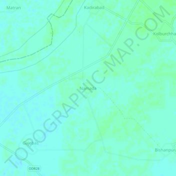
Name: Namada topographic map, elevation, terrain.
Location: Namada, Samana Tahsil, Patiala, Punjab, India (30.19357 76.10315 30.23357 76.14315)
Average elevation: 244 m
Minimum elevation: 241 m
Maximum elevation: 247 m