
Alacantí topographic map
Interactive map
Click on the map to display elevation.
About this map
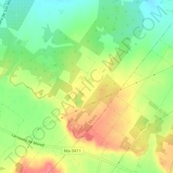
Name: Alacantí topographic map, elevation, terrain.
Location: Alacantí, Muro, Pla de Mallorca, Îles Baléares, 07440, Espagne (39.72902 3.08857 39.74902 3.10857)
Average elevation: 50 m
Minimum elevation: 16 m
Maximum elevation: 88 m