
Hasan Abdal topographic map
Interactive map
Click on the map to display elevation.
About this map
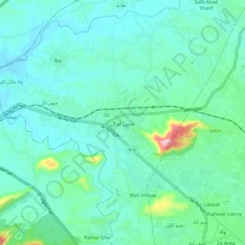
Name: Hasan Abdal topographic map, elevation, terrain.
Average elevation: 433 m
Minimum elevation: 378 m
Maximum elevation: 711 m
Other topographic maps
Click on a map to view its topography, its elevation and its terrain.
Bhoi Ghar
Pakistan > Punjab > Taxila Tehsil
Bhoi Ghar, Taxila Tehsil, Rawalpindi District, Punjab, Pakistan
Average elevation: 475 m