
Elferkofel - Cima Undici topographic map
Interactive map
Click on the map to display elevation.
About this map
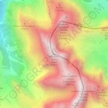
Name: Elferkofel - Cima Undici topographic map, elevation, terrain.
Average elevation: 2,408 m
Minimum elevation: 1,640 m
Maximum elevation: 3,038 m