
Srednevo topographic map
Interactive map
Click on the map to display elevation.
About this map
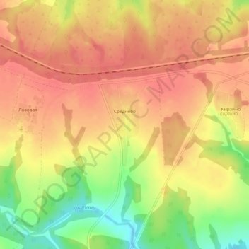
Name: Srednevo topographic map, elevation, terrain.
Average elevation: 213 m
Minimum elevation: 170 m
Maximum elevation: 234 m
Other topographic maps
Click on a map to view its topography, its elevation and its terrain.
Aleksin
Russia > Tula Oblast > Aleksinsky District
Aleksin, Aleksinsky District, Tula Oblast, Central Federal District, 301360, Russia
Average elevation: 179 m