
Spiekeroog topographic map
Interactive map
Click on the map to display elevation.
About this map
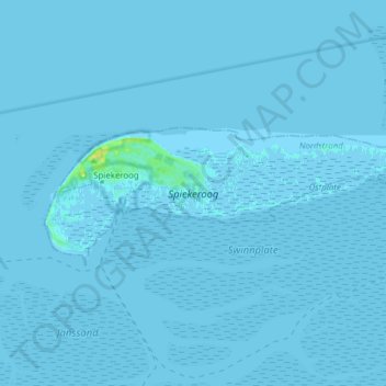
Name: Spiekeroog topographic map, elevation, terrain.
Location: Spiekeroog, Landkreis Wittmund, Lower Saxony, 26474, Germany (53.75117 7.66599 53.78212 7.82027)
Average elevation: 0 m
Minimum elevation: -3 m
Maximum elevation: 16 m