
Maevatanana topographic map
Interactive map
Click on the map to display elevation.
About this map
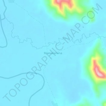
Name: Maevatanana topographic map, elevation, terrain.
Location: Maevatanana, Diana, Province d'Antsiranana, Madagascar (-13.90305 48.50886 -13.86305 48.54886)
Average elevation: 50 m
Minimum elevation: 28 m
Maximum elevation: 284 m