
Aynabo District topographic map
Interactive map
Click on the map to display elevation.
About this map
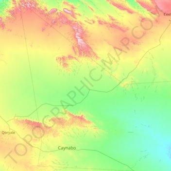
Name: Aynabo District topographic map, elevation, terrain.
Location: Aynabo District, Sool, Somaliland, Somalia (8.78158 46.04843 10.04944 46.92000)
Average elevation: 839 m
Minimum elevation: 567 m
Maximum elevation: 1,596 m