
Thank you for supporting this site ❤️
Make a donation
Make a donation
Gear up for your next adventure:
As an Amazon Associate, this site earns from qualifying purchases at no extra cost to you.
Huayllacucho topographic map
Click on the map to display elevation.
Thank you for supporting this site ❤️
Make a donation
Make a donation
Gear up for your next adventure:
As an Amazon Associate, this site earns from qualifying purchases at no extra cost to you.
About this map
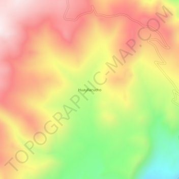
Name: Huayllacucho topographic map, elevation, terrain.
Location: Huayllacucho, Cotaruse, Aymaraes, Apurímac, Perú (-14.76821 -73.49738 -14.72821 -73.45738)
Average elevation: 4,230 m
Minimum elevation: 3,822 m
Maximum elevation: 4,540 m
Thank you for supporting this site ❤️
Make a donation
Make a donation
Gear up for your next adventure:
As an Amazon Associate, this site earns from qualifying purchases at no extra cost to you.