
Bagua topographic map
Interactive map
Click on the map to display elevation.
About this map
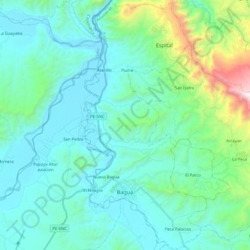
Name: Bagua topographic map, elevation, terrain.
Location: Bagua, Amazonas, Perú (-5.68660 -78.56689 -5.48177 -78.46435)
Average elevation: 637 m
Minimum elevation: 352 m
Maximum elevation: 2,094 m