
Kertajaya topographic map
Interactive map
Click on the map to display elevation.
About this map
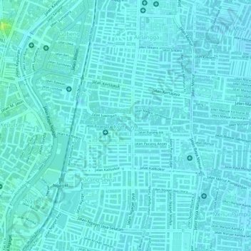
Name: Kertajaya topographic map, elevation, terrain.
Location: Kertajaya, Gubeng, Surabaya, East Java, 60282, Indonesia (-7.28756 112.74901 -7.27731 112.76324)
Average elevation: 6 m
Minimum elevation: 3 m
Maximum elevation: 18 m