
Hennersdorf topographic map
Interactive map
Click on the map to display elevation.
About this map
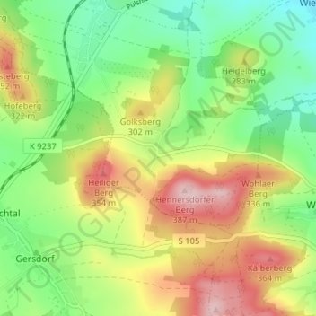
Name: Hennersdorf topographic map, elevation, terrain.
Location: Hennersdorf, Kamenz, Bautzen, Sachsen, 01917, Deutschland (51.21864 14.06318 51.25864 14.10318)
Average elevation: 263 m
Minimum elevation: 175 m
Maximum elevation: 382 m