
Nkhotakota topographic map
Interactive map
Click on the map to display elevation.
About this map
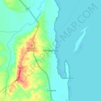
Name: Nkhotakota topographic map, elevation, terrain.
Location: Nkhotakota, Central Region, Malawi, Malawi (-12.96697 34.25671 -12.88697 34.33671)
Average elevation: 487 m
Minimum elevation: 474 m
Maximum elevation: 534 m