
عمرة topographic map
Interactive map
Click on the map to display elevation.
About this map
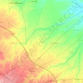
Name: عمرة topographic map, elevation, terrain.
Location: عمرة, معتمدية سيدي مخلوف, ولاية مدنين, Tunísia (33.37420 10.45340 33.49342 10.64000)
Average elevation: 59 m
Minimum elevation: 7 m
Maximum elevation: 122 m