
Джиргиталь topographic map
Interactive map
Click on the map to display elevation.
About this map
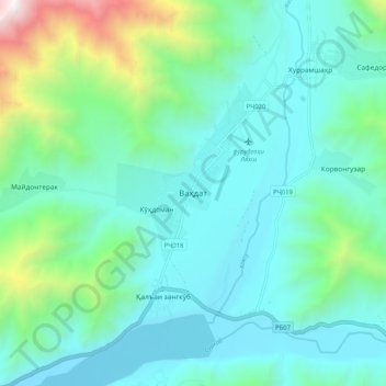
Name: Джиргиталь topographic map, elevation, terrain.
Location: Джиргиталь, Der Republik unterstellte Gebiete, Tadschikistan (39.17921 71.16014 39.25921 71.24014)
Average elevation: 2,092 m
Minimum elevation: 1,685 m
Maximum elevation: 3,799 m