
Toolinn topographic map
Interactive map
Click on the map to display elevation.
About this map
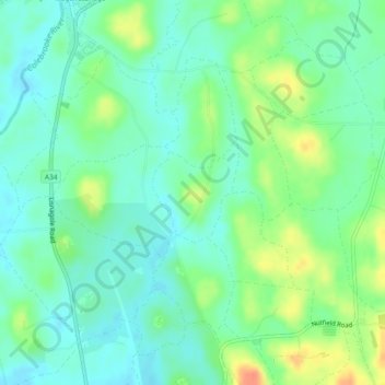
Name: Toolinn topographic map, elevation, terrain.
Average elevation: 64 m
Minimum elevation: 49 m
Maximum elevation: 93 m
Other topographic maps
Click on a map to view its topography, its elevation and its terrain.
Giltagh
Royaume-Uni > Irlande du Nord > Maguiresbridge
Giltagh, Greenhill ED, Maguiresbridge, County Fermanagh, Irlande du Nord, Royaume-Uni
Average elevation: 80 m