
Fröhden topographic map
Interactive map
Click on the map to display elevation.
About this map
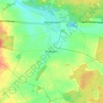
Name: Fröhden topographic map, elevation, terrain.
Location: Fröhden, Teltow-Fläming, Brandenburg, Deutschland (51.95428 13.15246 51.99428 13.19246)
Average elevation: 91 m
Minimum elevation: 73 m
Maximum elevation: 114 m