
Bekopaka topographic map
Interactive map
Click on the map to display elevation.
About this map
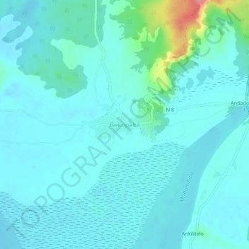
Name: Bekopaka topographic map, elevation, terrain.
Location: Bekopaka, Melaky, Province de Mahajanga, Madagascar (-19.16721 44.77121 -19.12721 44.81121)
Average elevation: 51 m
Minimum elevation: 36 m
Maximum elevation: 140 m