
Deiffelt topographic map
Interactive map
Click on the map to display elevation.
About this map
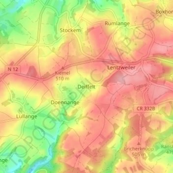
Name: Deiffelt topographic map, elevation, terrain.
Location: Deiffelt, Wincrange, Canton Clervaux, 9761, Luxemburg (50.04502 5.94265 50.08502 5.98265)
Average elevation: 481 m
Minimum elevation: 410 m
Maximum elevation: 528 m