
Huai Bong topographic map
Interactive map
Click on the map to display elevation.
About this map
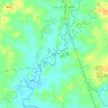
Name: Huai Bong topographic map, elevation, terrain.
Location: Huai Bong, Ban Huai Bong, Tak Province, Thailand (16.84744 98.56253 16.88213 98.58196)
Average elevation: 195 m
Minimum elevation: 183 m
Maximum elevation: 213 m