
جال الطرفاء topographic map
Interactive map
Click on the map to display elevation.
About this map
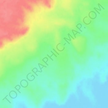
Name: جال الطرفاء topographic map, elevation, terrain.
Location: جال الطرفاء, Östliche Provinz, Saudi-Arabien (23.88328 51.43328 23.88338 51.43338)
Average elevation: 31 m
Minimum elevation: -10 m
Maximum elevation: 75 m
Other topographic maps
Click on a map to view its topography, its elevation and its terrain.
Rub al Khali
Saudi-Arabien > Östliche Provinz
Rub al Khali, Östliche Provinz, Saudi-Arabien
Average elevation: 183 m
Dammam
Saudi-Arabien > Östliche Provinz > Dammam
Dammam, Östliche Provinz, 31451, Saudi-Arabien
Average elevation: 9 m
Jabal Hadhar
Saudi-Arabien > Östliche Provinz
Jabal Hadhar, Östliche Provinz, Saudi-Arabien
Average elevation: 188 m