Geolocate

Hankelow topographic map

Click on the map to display elevation.

About this map

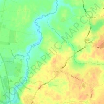
Name: Hankelow topographic map, elevation, terrain.

Location: Hankelow, Cheshire East, England, United Kingdom (52.99909 -2.52119 53.02197 -2.46771)

Average elevation: 60 m

Minimum elevation: 39 m

Maximum elevation: 77 m

Cheshire East trails, hiking, mountain biking, running and outdoor activities

Gear up for your next adventure:

👕Merino Base Layers - Natural temperature regulation for cold weather hiking and camping
🎒Hiking Child Carriers - Explore the outdoors with the whole family safely
💧Hydration Reservoirs - Convenient water bladders for hands-free drinking on the move
📐Altimeters & Barometers - Tools for measuring altitude and air pressure
🧭Emergency Beacons - Safety beacons for remote outdoor locations

As an Amazon Associate, this site earns from qualifying purchases at no extra cost to you.