
Babylon topographic map
Click on the map to display elevation.
Babylon
A topographical survey at the site was conducted in 1974, followed in 1977 by a review of the stratigraphical position of the main monuments and reconsideration of ancient water levels, by the Turin Centre for Archaeological Research and Excavations in the Middle East and Asia, and the Iraqi-Italian Institute of Archaeological Sciences. The focus was on clearing up issues raised by re-examination of the old German data. Additional work in 1987–1989 concentrated on the area surrounding the Ishara and Ninurta temples in the Shu-Anna city-quarter of Babylon.
About this map
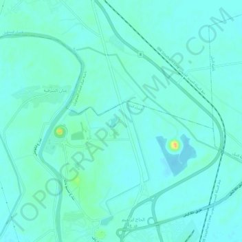
Name: Babylon topographic map, elevation, terrain.
Average elevation: 32 m
Minimum elevation: 26 m
Maximum elevation: 59 m